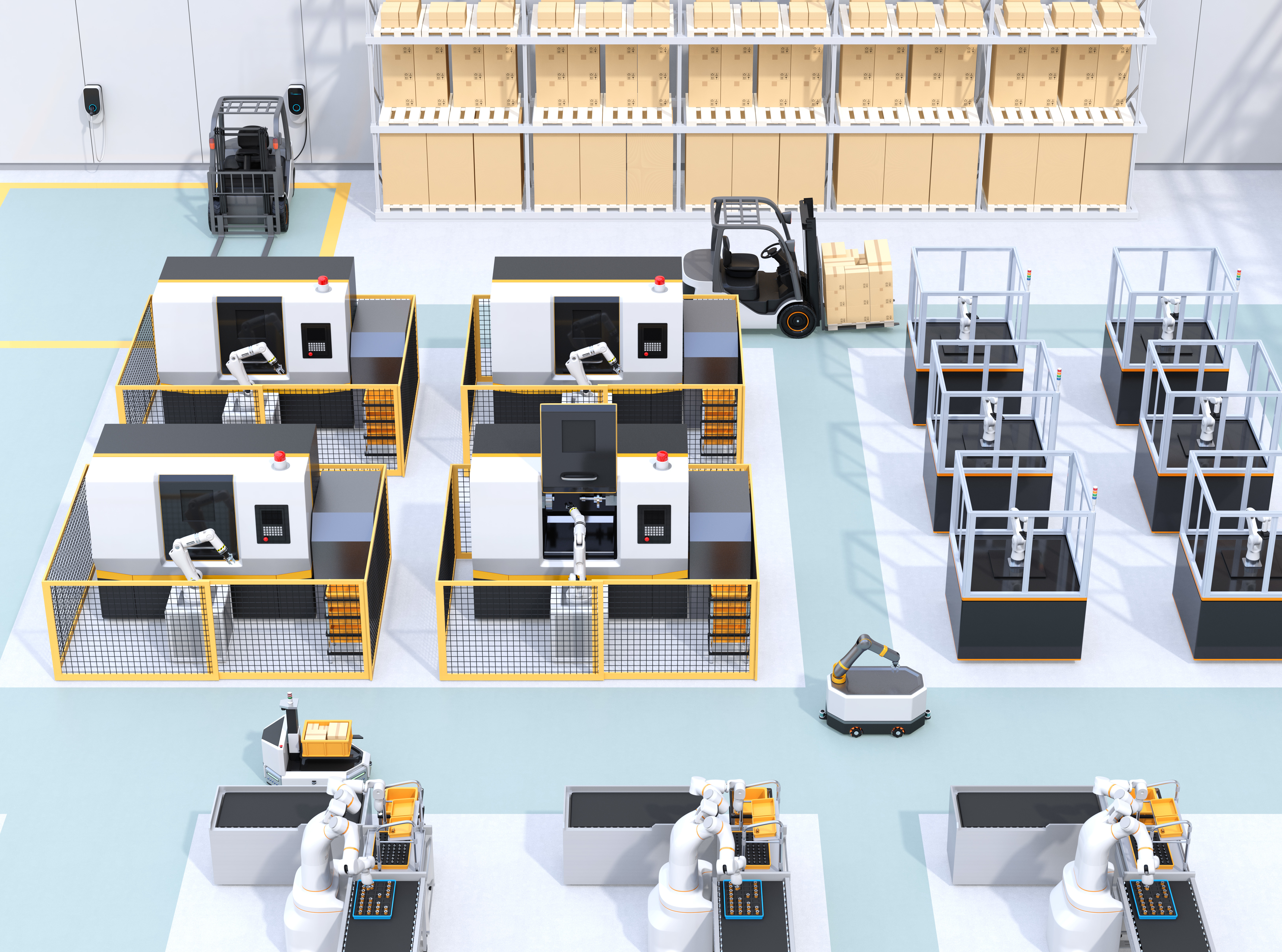
With the increasing implementation of automated guided vehicles (AGV), the need for reliable control and monitoring of vehicles is growing. In order to avoid accidents and to enable optimized route planning, it is necessary to know the exact position of the AGV. Depending on the application, different accuracy classes are required: An accuracy of a few meters is sufficient to optimize the driving routes of AGVs. The control of AGVs requires also a high accuracy of a few centimeters, which also requires a very low latency of a few milliseconds and high network availability.
With 3GPP Release 16 it is already possible to use 5G for positioning as part of the optimization of travel routes, since the planned positioning accuracy of 3 metres e.g. is sufficient for heat maps. Supporting positioning for the control of AGVs might already be conceivable with Release 17. With Release 18, it may also be possible to control AGVs or drones via 5G by means of a sensor fusion or a combination with optical and inertial sensors if the aim of positioning on decimetre-level is implemented in the standardization. For further information regarding the expected development of positioning accuracy of 5G, please follow the link.
Especially in the field of logistics, drones (UAV) are increasingly coming into focus. While UAVs have already been used in pilot projects to deliver packages, their use in intralogistics and within factory halls has not yet been tried and tested much. However, the use of UAVs in factory halls has great potential. On the one hand, the previously empty airspace can be used productively. On the other hand, direct transportation between the starting point and the destination is often not possible via ground transport. This also results in new applications, such as automated inventory management or the flexible and fast on-demand transport of spare parts.
As with AGVs, monitoring and route optimization can probably offer added value from Release 17. Furthermore, the relative positioning (device-to-device, D2D) can be used for swarms of drones to prevent the collision of the individual drones.
